
In addition to HF radar it can integrate multiple additional data sources such as information of other sensors (buoys, mareographs, met-stations, etc.), meto-cean model outputs, vessel positions, etc.
HF radar measurements
HF radar 2D currents

HF radar waves information

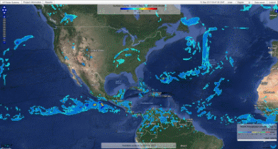
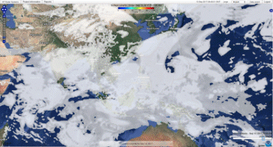
Met-ocean weather forecast models
Currents

Waves

Pressure

Rain
Sea level

SST
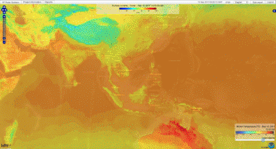
Wind

Cloudiness
Among PORTUS features:
User friendly multiuser interface , displaying historic and real time data of HF radar 2D currents and waves data, AIS vessel positions and trajectories, optical camera and maritime ra-dar vessel positions, etc.System architecture capable of integrating large networks , including buoy networks, mareographs, met-station information, satellite data, ocean forecast models and other decision support tools.Ability to share and export data (FTP server, OPEnDAP, KML, Web Map Services, etc.).Expandable client-server architecture
Seemless compatible and usable:
- All met-ocean data into one system
- Data accessible through the web, anywhere, at any time...
- Access permit management
- Flexible information exporting capability
- Multiple languages portal
- Automatic data validation tools
- Automatic HF radar added value products
Among the PORTUS users you have:
- Meteorological Centers
- Universities
- Port Authorities
- Research Institutions
- Environmental Authorities
- Naval and Defense Institutions
- Maritime Industry Companies
Topology and system architecture
